Technologies Ltd


 877.321.8268
Midnight Sun Challenge
- An aerial tour of Mt. Harvey
On Sunday, our first full day in Whitehorse, we toured Mt. Harvey. Mt. Harvey was named after Fred's wife's uncle, Bruce Harvey, who was the first Superintendent of Historic Sites for the Yukon. Bruce was instrumental in establishing the Chilkoot Trail National Historic Site.
Paul and Tom flew in GZZ while Adrian and Fred flew in CMQ: a change from our normal arrangement. Fred's brother-in-law, Gord Harvey, and Johan Groenewegen, Gord's cousin, flew with Adrian & Fred in CMQ.
Click on any of the thumbnails to start the slide show
 We departed Whitehorse around 10 am on a beautiful sunny morning.
 From Whitehorse we headed east along the Alaska Highway and then the Klondike Highway southbound.
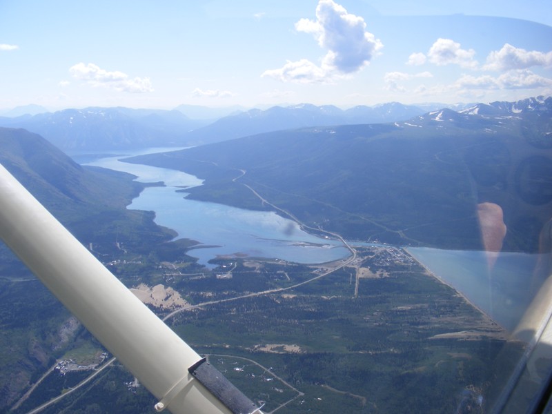 Carcross is situated at the north end of Bennett Lake.
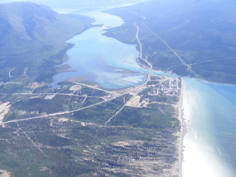
 The town of Carcross.
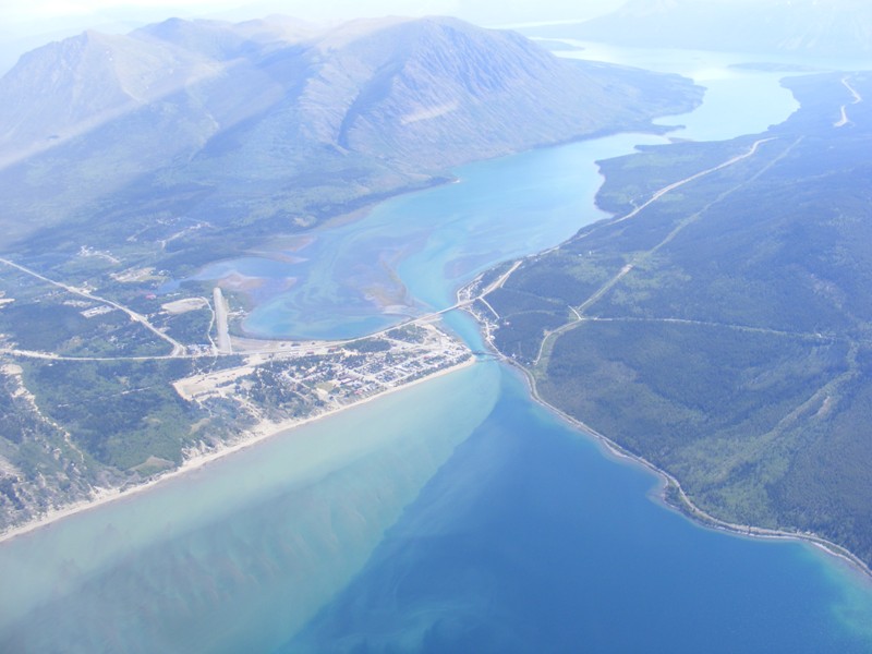
 Carcross boasts the smallest desert in the world, visible here on the extreme left of the picture.
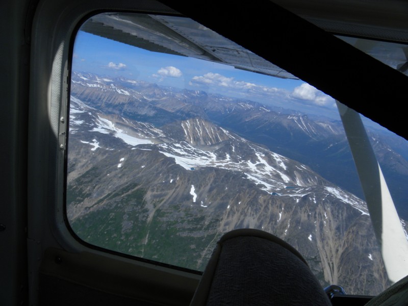
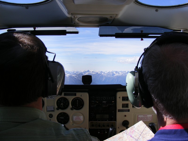 View from the back seat of CMQ.
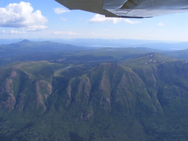
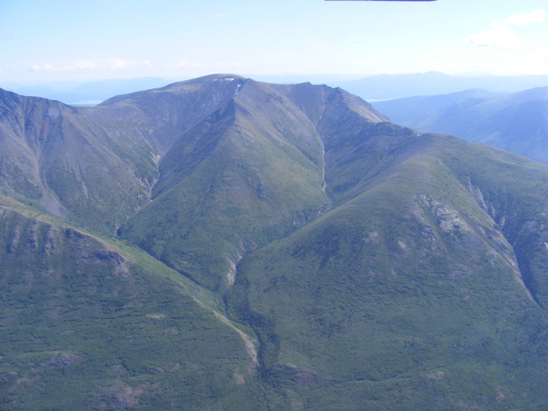
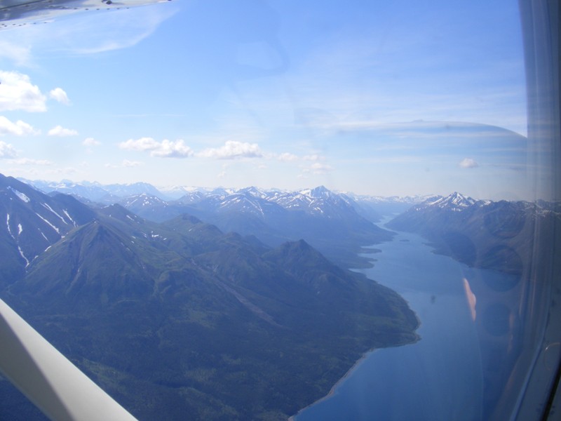
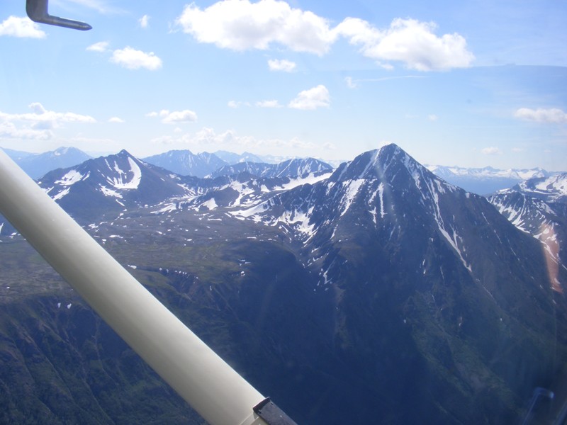
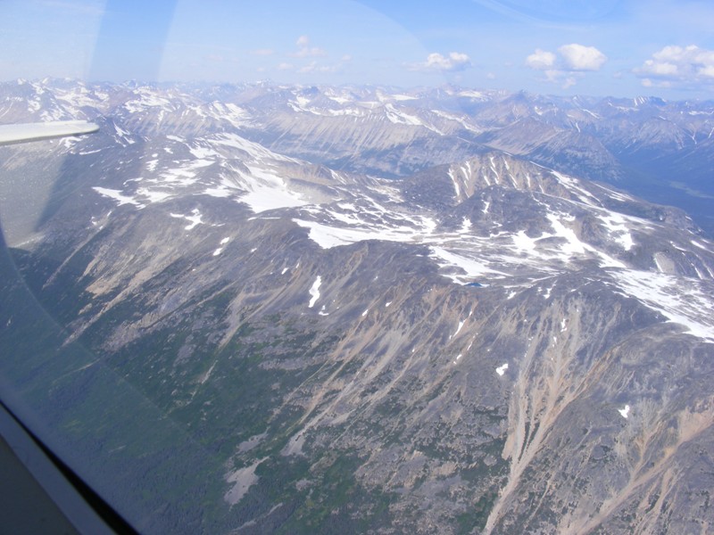
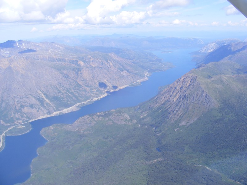
 As we continue south the mountains get larger and the valleys narrower.
 Our route will eventually take us over the morning fog in the valley ahead. Mt. Harvey is visible straight ahead.
 Our route will take us down the west side, around the south end and then up the east side of Mt. Harvey.
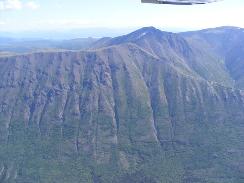
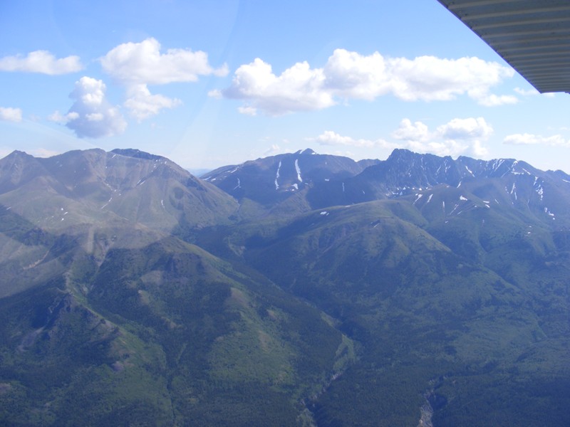
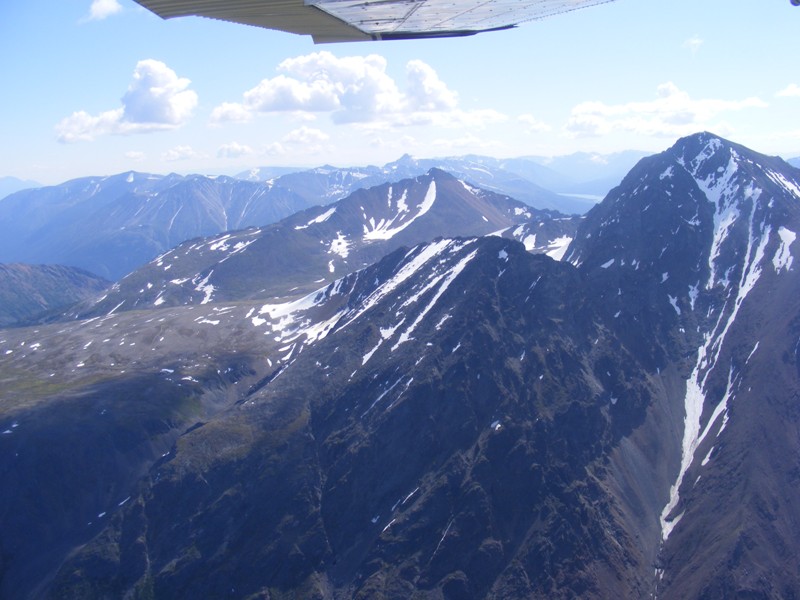
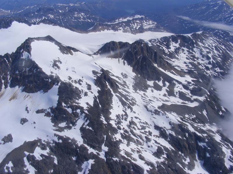
 West side of Mt. Harvey looking east.
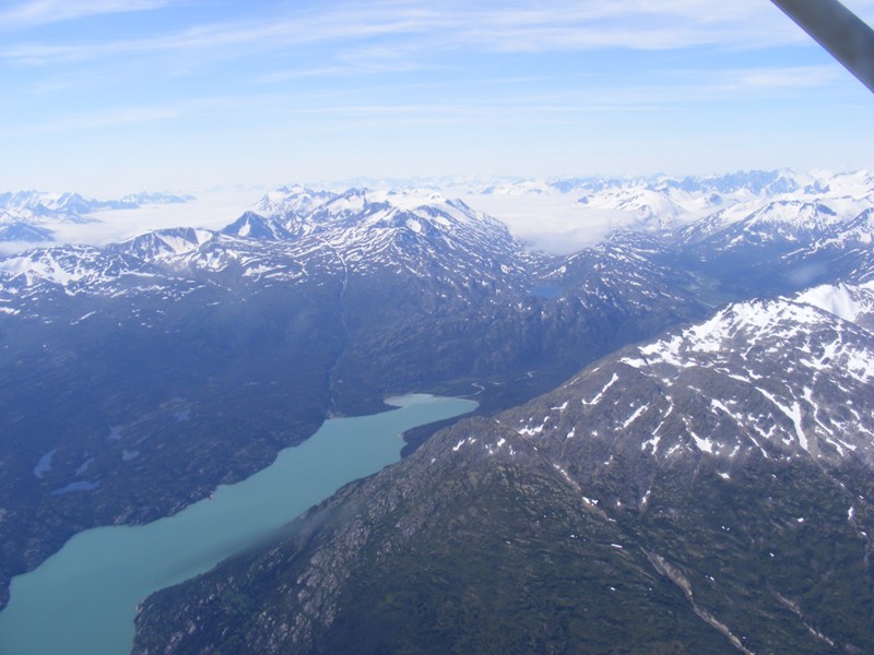
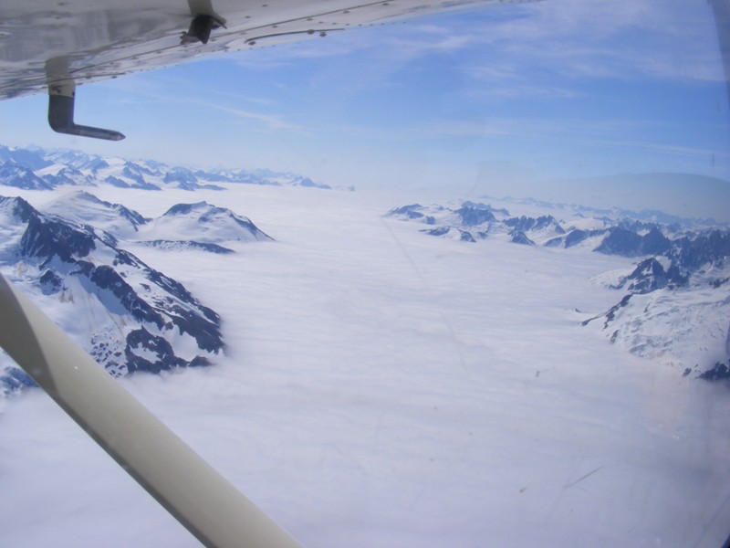 Coming around the south end of Mt. Harvey over a layer of fog.
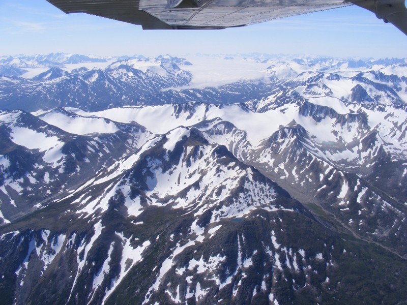
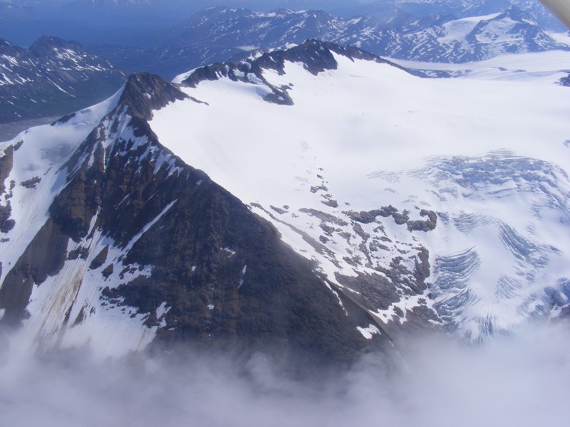 Southern tip of Mt Harvey - only 20 km north of the Alaska border.
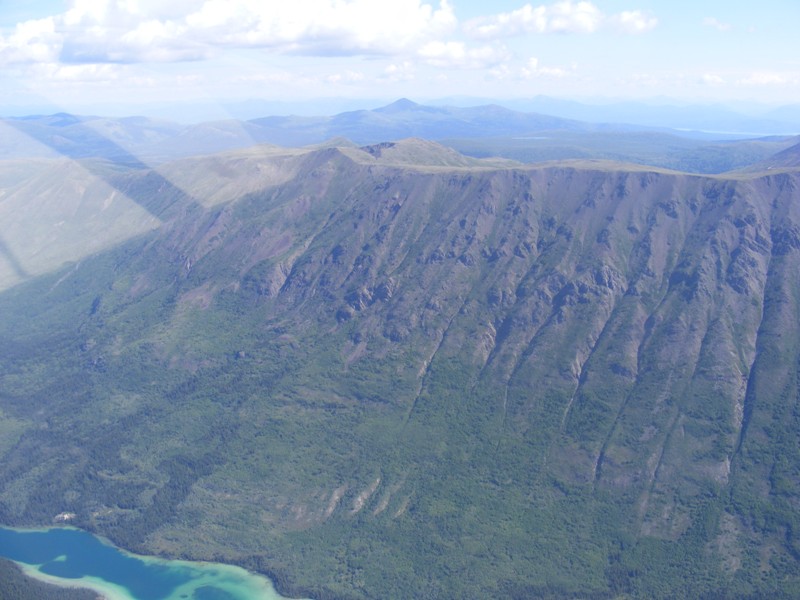
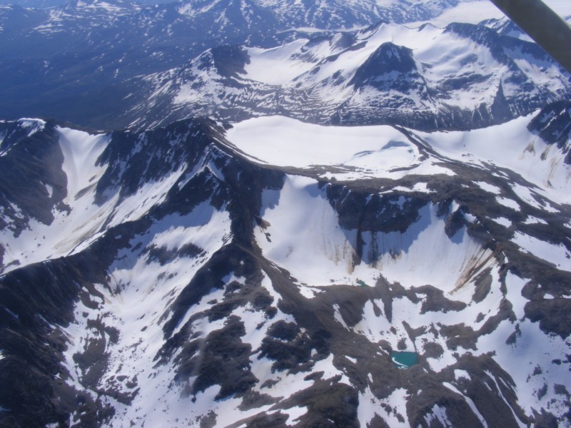
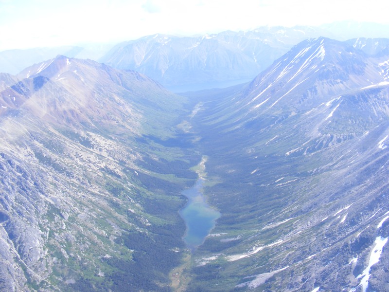
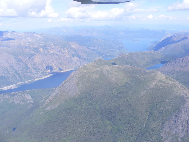
 East side of Mt. Harvey. Bruce's ashes lie near the single small lake on the left.
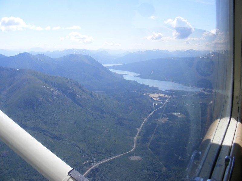
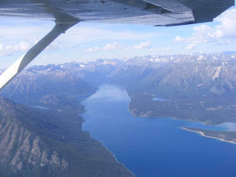
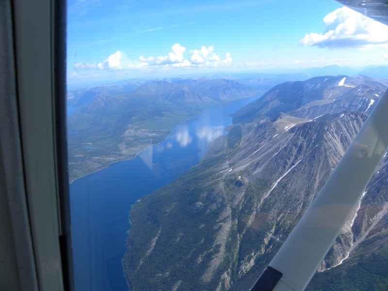
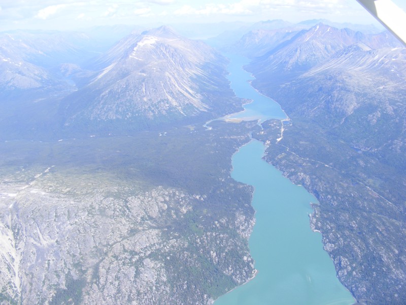 Homeward bound over Tagish Lake.
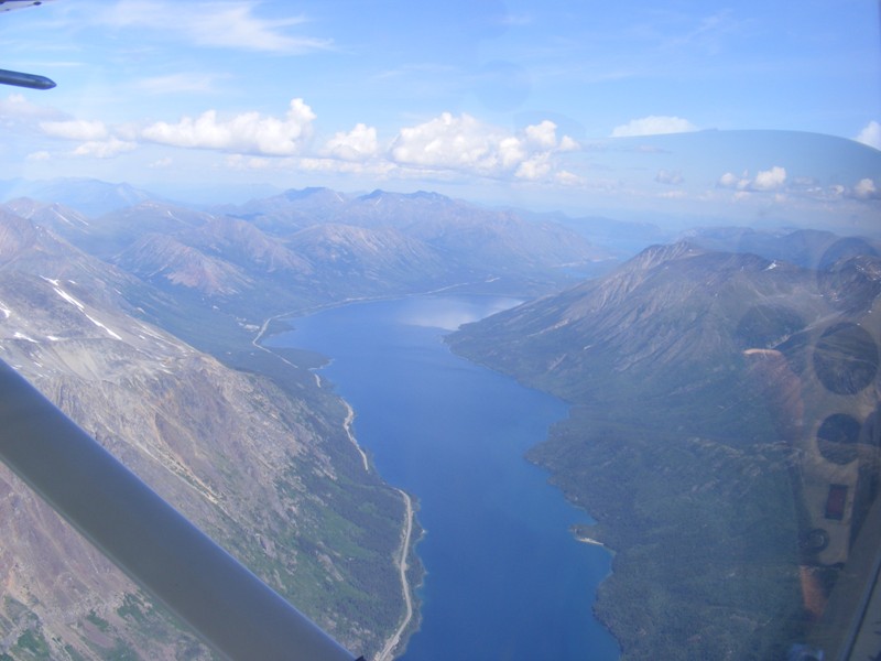
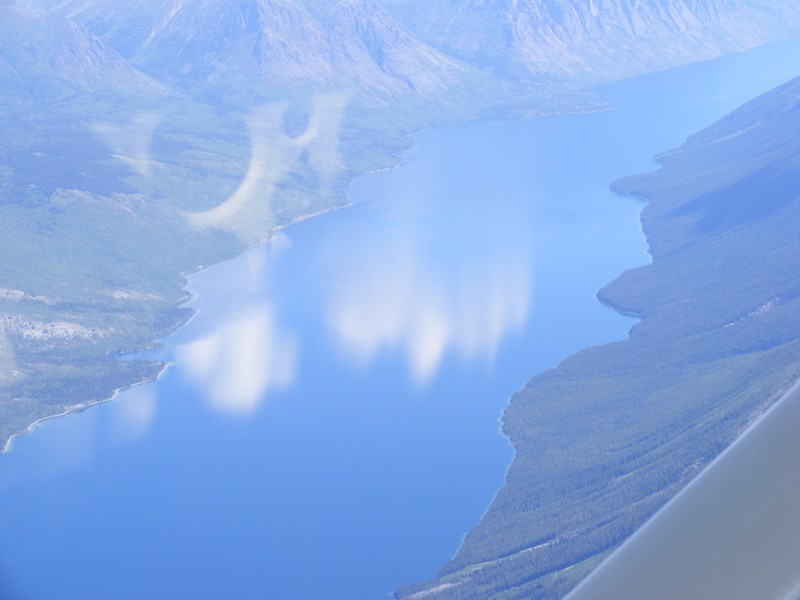 Clouds reflecting in the water.
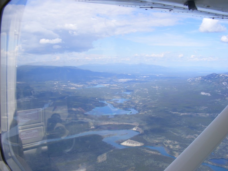 Yukon River heading back into Whitehorse.
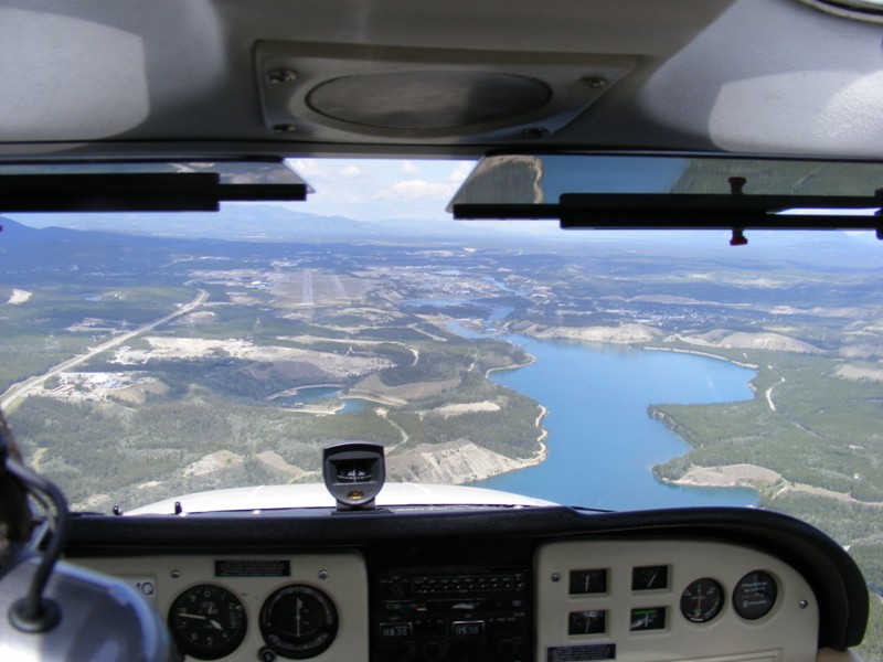 Straight in final runway 31L, Whitehorse.
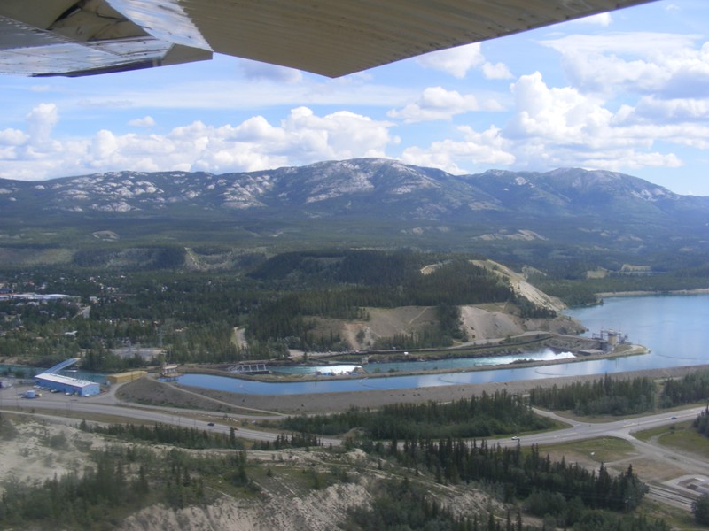 Dam on the Yukon River which forms Schwatka Lake (view out the starboard window while on short final).